MIT Visualizing Cultures
MIT Visualizing CulturesMenu
Go back to the Essay
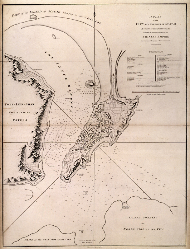
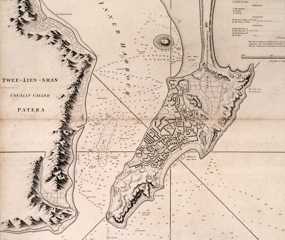
The legend of the map at right reads "A Plan of the City and Harbour of Macao, a Colony of the Portugueze situated at the southern extremity of the Chinese Empire..."


[cwM_1796_AH64431011_Map]
Map of Macau, 1796
On viewing images from the historical record: click here.
Massachusetts Institute of Technology © 2009 Visualizing Cultures
Creative Commons - some rights reserved
Tweet
Rise & Fall of the Canton Trade System II
Units
China in the World
MIT Visualizing Cultures VC Units MIT Visualizing Cultures About VC VC Scholars Partner Institutions Outreach Conferences & Events Contact Join Us Follow Us Units Icon View Text View Curriculae Macau & Whampoa Anchorage Pearl River Delta Macau Bocca Tigris Whampoa Anchorage Sources
 & Resources Rise & Fall of the Canton Trade System China in the World Canton & Hong Kong Image Galleries Curriculum