MIT Visualizing Cultures
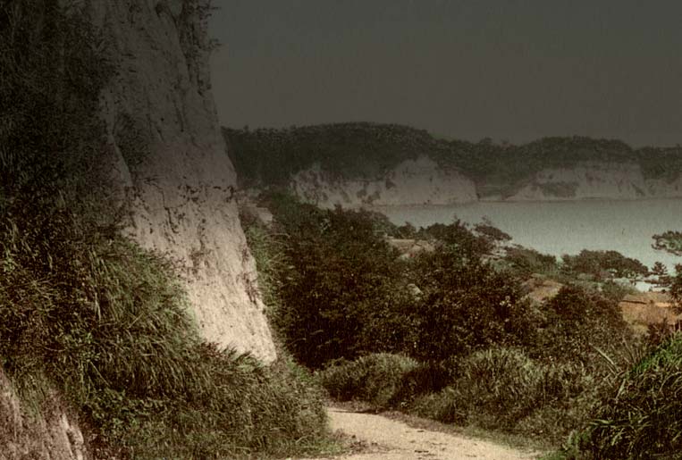
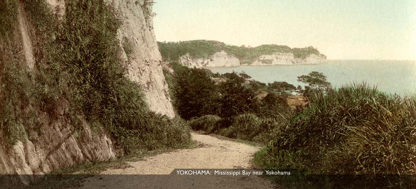
Yokohama—Mississippi Bay

“This road leads down to the water’s edge, and following the shore of Mississippi Bay, where Commodore Perry’s ships anchored in 1858, strikes across a rice valley and climbs to the Bluff again.”


MIT Visualizing Cultures

“A steep descent from the Bluff takes us into a valley cultivated with rice, across which several narrow path lead towards the numerous little watering-places on the picturesque, indented shore of Mississippi Bay.”

Eliza Ruhamah Scidmore, Jinrikisha Days in Japan, (New York, 1891) p. 12

Arthur H. Crow, Highways and Byeways in Japan, (London, 1883) p. 202
MIT Visualizing Cultures
Grand Hotel
Custom House
Main Street
View of Yokohama and Harbor
Torii at Iseyama
Street in Native Town
Main Street
Railway Station
Theatre Street
Creekside
Creekside
Mississippi Bay near Yokohama
Enoshima near Yokohama
MIT Visualizing Cultures
Brinkley’s Japan courtesy Hood Museum of Art, Dartmouth College
Travel books courtesy Allen Hockley

On viewing images from the historical record: click here.
Massachusetts Institute of Technology © 2008 Visualizing Cultures

gj10813
full image  |  Keeling’s guide  |  menu
Globetrotter Comment
MIT Visualizing Cultures